
400 Total Views
The Chandrakhani Pass trek sits in Himachal Pradesh’s Kullu district, crossing the only navigable pass between the Beas and Parvati valleys at roughly 3,650-3,700 meters. It’s widely rated one of the easier Himalayan passes to attempt, which is exactly why it’s a favorite starting trek for both YHAI batches and independent first-timers—but the two most common organized versions (YHAI and IndiaHikes) actually run different routes, so it’s worth knowing which one you’re signing up for.
Chandrakhani Pass Trek: Route and Distance
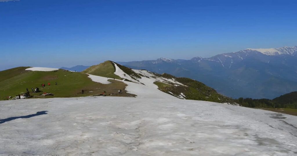
Chandrakhani Pass connects Rumsu village in the Kullu Valley with Malana village in the Parvati Valley, cutting through the Pir Panjal range. Total trek distance is reported inconsistently across sources — anywhere from about 17 km to 26 km, depending on which base camp and route variation you start from — so treat any single “exact” distance you see elsewhere with some skepticism and confirm it against your specific operator’s itinerary. Altitude at the pass itself is consistently reported between 3,650 m and 3,700 m (roughly 12,000 ft), and the trail is graded easy-to-moderate, with a gradual ascent through meadows and forest before a steeper final push near the pass.
Chandrakhani Pass Trek via YHAI: Itinerary
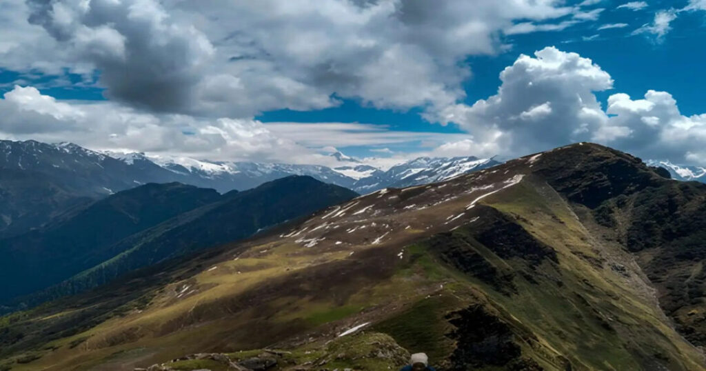
YHAI (Youth Hostels Association of India) runs its Chandrakhani Pass trek out of Base Camp Seobagh, about 4 km from Kullu town, as a 7-day program: Day 1 is reporting and rest at base camp; Day 2 is an acclimatization and orientation day (including some rock climbing and rappelling practice); Day 3 moves up to Ubla Thach camp; Day 4 continues to Doura Nala camp; Day 5 crosses Chandrakhani Pass itself and descends to Naya Tapru; Day 6 treks back to Base Camp Seobagh; and Day 7 is checkout. Some YHAI batches route the descent through Malana village instead of looping straight back—confirm which variant your specific batch follows when booking, since both exist under the YHAI umbrella.
Also read: Places to Visit in Manali: 15 Must-See Spots for Every Traveller
Chandrakhani Pass Trek via IndiaHikes: The Alternative Route
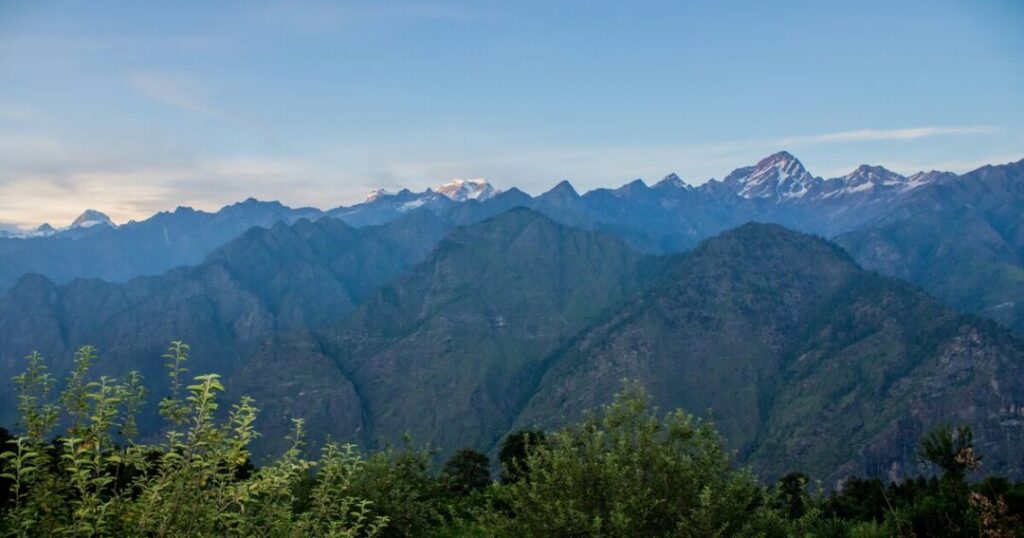
IndiaHikes runs a shorter, differently-shaped version of this trek from its Jungle Line Campus in Sarsai, about 15 km from Manali. Their route goes Rumsu → Naya Tapru → Chaklani Camp → Chandrakhani Pass, then back down through Naya Tapru to Rumsu, with a drive back to Manali—a loop rather than a one-way descent to Malana, covering around 20 km over roughly 5 days including travel days. If your priority is a quicker Manali-based trek rather than a Kullu-based one ending in Malana, this is the version to look for specifically.
Chandrakhani Pass Trek Map: Key Points Along the Way
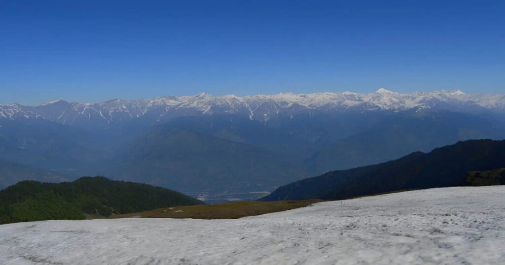
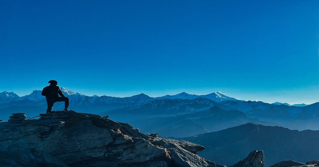
Regardless of operator, the key waypoints stay consistent: a starting village (Rumsu or Naggar, depending on route); one or two intermediate meadow camps (Naya Tapru, Ubla Thach, or Doura Nala depending on itinerary); the pass itself with views of Hanuman Tibba, Friendship Peak, and Deo Tibba, and either a loop back to the starting point or a descent to Malana village on the far side. Most operators provide a specific trek map at booking—cross-check it against your confirmed itinerary rather than relying on a generic map found online, since camp names and exact distances shift between operators.
Also read: Buran Ghati Trek: Complete Guide to Itinerary, Distance, Cost & Best Time
Malana Village: What to Know Before You Arrive
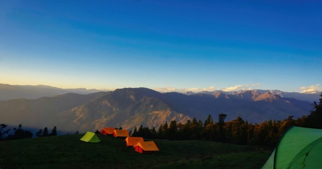
If your route ends in Malana, a few cultural rules matter more here than at most Himalayan villages. Touching temples, houses, or villagers is not permitted—shopkeepers will have you place money and goods on a counter rather than hand them over directly, and violations can draw a fine. Ask permission before photographing people, especially older residents, and avoid photography around temples specifically; videography is generally not allowed at all. Malana is also known internationally for its cannabis cultivation, but purchasing or possessing it remains illegal in India regardless of local trade, so treat it as a cultural-curiosity topic rather than something to participate in.
Also read: Dodital Trek: The Complete Guide to Lord Ganesha’s Sacred Lake & Darwa Pass Circuit
Best Time for Chandrakhani Pass Trek
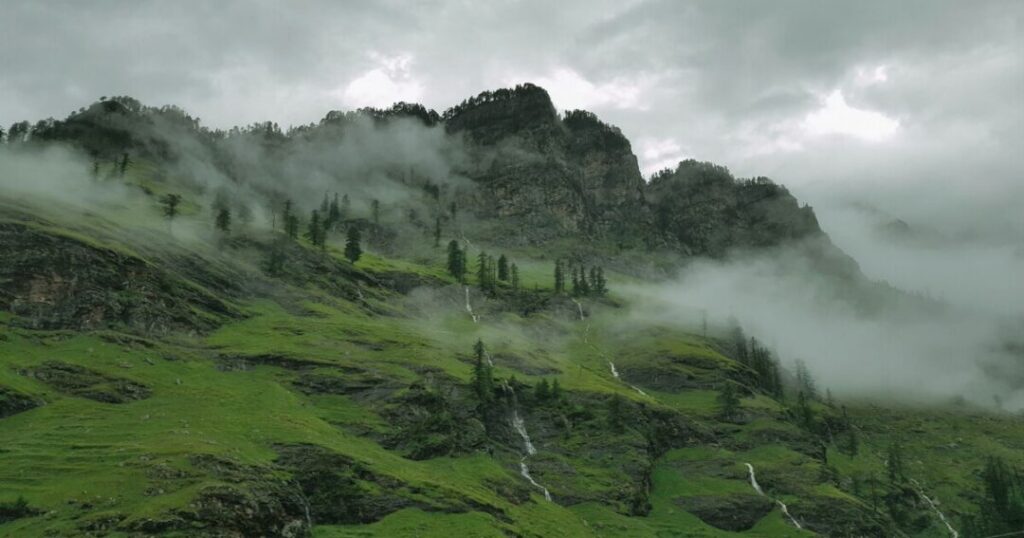
Late May through June and September through October are the strongest windows. Expect residual snow around the pass if you go in May or early June, which some trekkers specifically seek out, while the July-August monsoon is generally best avoided due to slippery trails and reduced visibility, even though a few sources list it as viable. Clear autumn skies after the monsoon tend to give the best long-range views of Hanuman Tibba and Deo Tibba.
Also read: Dodital Trek: The Complete Guide to Lord Ganesha’s Sacred Lake & Darwa Pass Circuit
How to Reach Chandrakhani Pass Trek?
Manali is the usual gateway, reachable by overnight bus or car from Delhi (roughly 12-14 hours) or by flying into Kullu-Manali (Bhuntar) Airport and driving the rest of the way. From Manali, the IndiaHikes base at Sarsai is a short local drive, while the YHAI base camp at Seobagh sits closer to Kullu town, about a 40-minute drive further down the valley from Manali. Both operators typically arrange base-camp transfers from a fixed pickup point, so confirm your reporting location and time exactly rather than assuming it’s the same for both.
Conclusion: Chandrakhani Pass Trek
The Chandrakhani Pass trek earns its reputation as an easy, scenic entry point into Himalayan trekking, but the itinerary genuinely depends on who you book with—YHAI’s longer Kullu-based program (sometimes routing through Malana) and IndiaHikes’ shorter Manali-based loop are different enough in shape and length that they shouldn’t be assumed interchangeable. Confirm your operator’s exact route and camp names before you go, time it for late May-June or the post-monsoon autumn window, and treat Malana’s cultural rules seriously if your route takes you through it.
FAQs On Chandrakhani Pass Trek
2. What is the actual distance of the Chandrakhani Pass trek?
The reported distance varies by source and route, from around 17 km to 26 km, so the honest answer depends on which specific itinerary (YHAI or IndiaHikes and which camp variation) you're following rather than one fixed number.
3. What's the difference between the YHAI and IndiaHikes Chandrakhani Pass treks?
YHAI runs a 7-day program from Base Camp Seobagh near Kullu, with some batches descending to Malana village on the far side of the pass; IndiaHikes runs a shorter, roughly 5-day loop from a Manali-area base camp that returns to the same starting village rather than ending in Malana.
4. Do I need a permit for the Chandrakhani Pass trek?
Standard forest entry or trekking permits are typically arranged by your trek operator as part of the package; if trekking independently, check current requirements with the local forest department in Kullu before setting out.
5. Is the Chandrakhani Pass trek suitable for a first Himalayan trek?
Yes—it's frequently recommended as a starter trek precisely because of its gradual gradient and moderate altitude compared to other Himachal passes, though basic fitness and some acclimatization time are still necessary.
6. What should I know before visiting Malana village on this trek?
Avoid touching people, temples, or houses; ask before photographing villagers; skip videography entirely; and don't purchase cannabis even though it's part of the local economy—it remains illegal under Indian law regardless of local custom.
7. When is the best time to see snow at Chandrakhani Pass?
Late May into early June is your best shot at residual snow around the pass itself, since most of it melts away by the height of summer.