
302 Total Views
The Buran Ghati trek is a high-altitude crossover route in Himachal Pradesh that links the Pabbar Valley near Shimla to the Baspa Valley in Kinnaur — and its signature moment is descending a genuine wall of ice at the pass itself. This guide covers the route, the day-by-day itinerary, distance, cost, permits, and when to go.
Buran Ghati Trek: Height & Route Overview
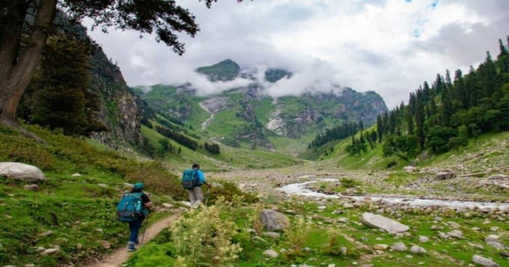
The trek’s high point, Buran Pass, sits at roughly 15,000 ft (about 4,572m). The classic route runs from Janglik (around 9,200-9,400 ft), the road-head village on the Pabbar Valley side, across the pass, and down into Barua village on the Kinnaur side near the Baspa Valley — close enough to extend into Chitkul, Sangla, and Kalpa afterward. Historically a sheep-herder’s crossing between the two valleys, it’s now one of the more technical crossover treks in the region, and some operators run it in the reverse direction, starting from the Kinnaur side instead.
Buran Ghati Trek Distance & Difficulty
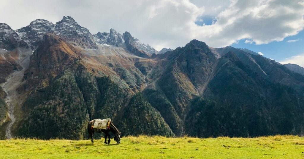
Total trekking distance runs approximately 35- 42 km (figures vary slightly by operator and exact route), covered over 5-6 days of actual trekking within a 7-8 day itinerary from Shimla. It’s rated moderate to difficult, best suited to trekkers with some prior high-altitude experience — expect rockfall zones, near-vertical sections, and a glacier walk, on top of the elevation gain from roughly 9,200 ft to 15,000 ft.
Also Read: 20 Offbeat Places to Visit in Himachal Pradesh’s Underrated & Unseen Destinations
Buran Ghati Trek Itinerary: Day by Day
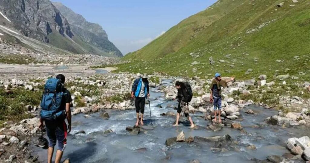
A typical 8-day itinerary from Shimla looks like this:
- Shimla to Janglik — road journey of around 150km through the Pabbar Valley, overnight at the base village
- Janglik to Dayara Thach (~11,000 ft) — through pine and oak forest
- Dayara Thach to Litham (~11,800 ft) — meadows with views toward Gunas Pass and the Chandranahan waterfall
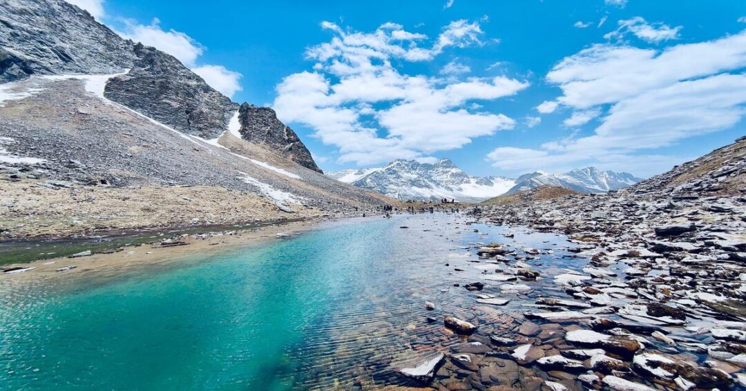
- Acclimatisation day: excursion to Chandranahan Lake (~13,800 ft) — a frozen glacial lake considered sacred locally
- Litham to Dhunda (~13,500 ft) — high-altitude campsite with panoramic peak views
- Dhunda to River Camp via Buran Ghati (~15,000 ft) — the toughest day, roughly 8- 9 km over 9-10 hours, including the steep snow-wall descent
- River Camp to Barua (~6,300 ft) — descent through forest and orchards, trek ends
- Drive back to Shimla
Day numbering shifts slightly between operators, but the sequence — Janglik, Dayara Thach, Litham, Chandranahan side-trip, Dhunda, the pass, Barua — stays consistent.
Buran Ghati Trek Map & Key Points
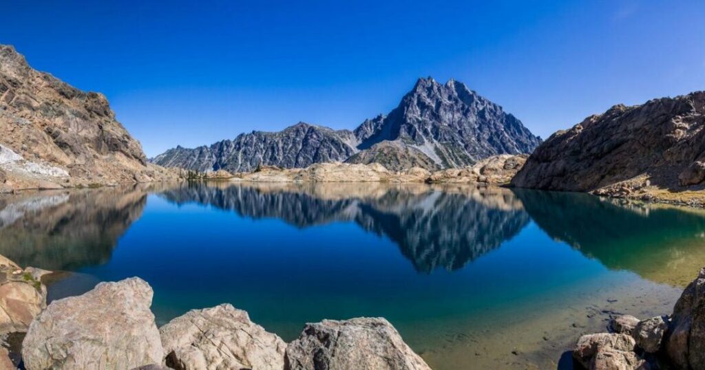
The route’s fixed points, in order, are: Janglik (base village) → Dayara Thach → Litham (valley confluence, waterfall views) → Chandranahan Lake (side excursion) → Dhunda → Buran Ghati/Buran Pass (high point) → River Camp → Barua (exit village). Most trek operators provide a GPS-tracked map alongside booking, since the pass-crossing day in particular benefits from a guide who already knows the current snow conditions.
Buran Ghati Trek Cost & Permits
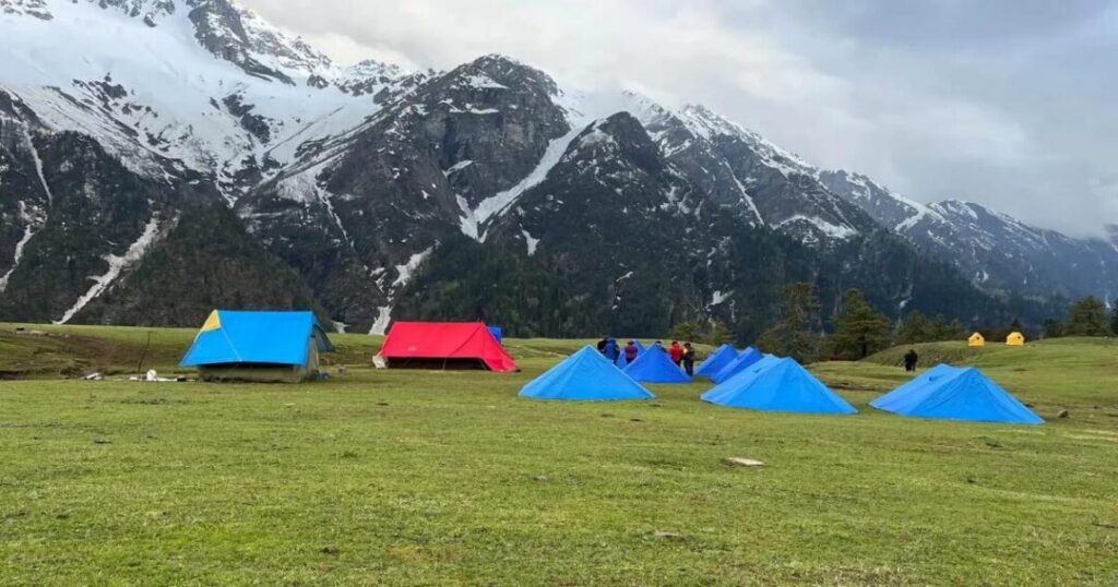
Trek packages typically range from around ₹15,000 to ₹24,000 per person (plus GST in some cases), depending on the operator, group size, and what’s included — most cover meals, tent stay, a trek leader, and transport between Shimla and the base points. A Forest Department permit is required to trek Buran Ghati, for which you’ll need a government ID and a doctor-signed medical fitness certificate; this is typically arranged through your trek operator. Foreign nationals do not need an Inner Line Permit for the lower Kinnaur towns near the trek’s end (Chitkul, Sangla, Kalpa), though ILP rules for the wider Kinnaur-Spiti region should always be reconfirmed before travel, since they do change.
Also Read: Bhrigu Lake Trek: Complete Guide to Trek Distance, Height, Best Time & Packages
What is the Best Time for the Buran Ghati Trek?
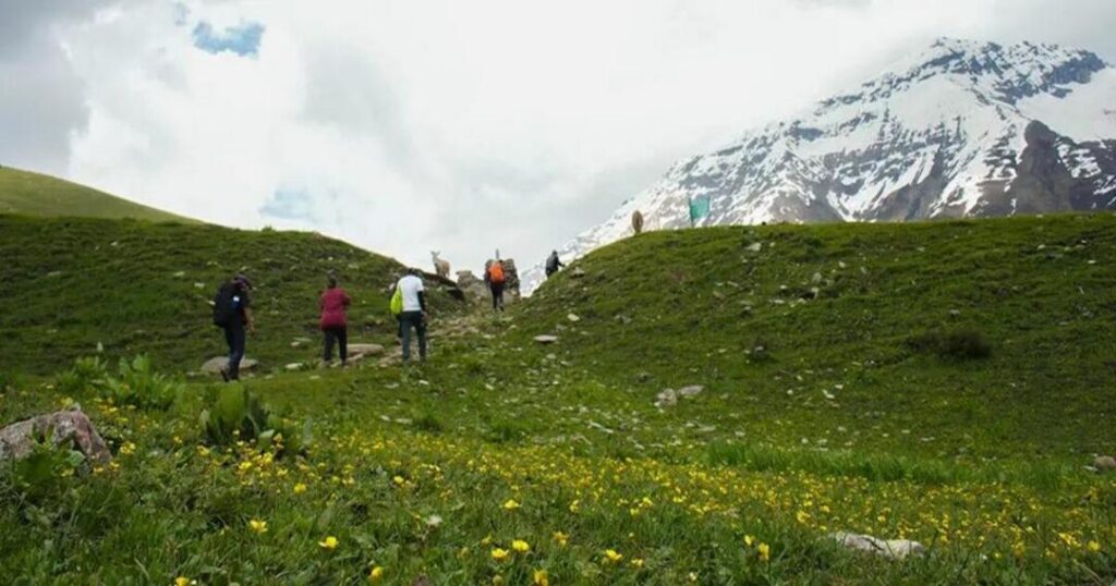
The trek runs roughly mid-May through October. Late spring to early summer (mid-May to late June) is the most popular window and the only time the pass reliably holds enough snow for the wall descent that gives the trek its reputation. September-October offers clearer autumn weather with less snow at the pass. Avoid the monsoon months in between, when trails become unstable.
Also Read: Top 10 Must Visit Valleys in India
Conclusion About Buran Ghati trek
The Buran Ghati trek packs a full high-altitude crossover into a week: forest trails and alpine meadows building up to a genuine ice-wall descent at 15,000 ft. Quick recap:
- Height — Buran Pass, approximately 15,000 ft (4,572m)
- Distance — roughly 35- 42 km over 5-6 trekking days, 7-8 days total from Shimla
- Route — Janglik → Dayara Thach → Litham → Chandranahan Lake (side trip) → Dhunda → Buran Ghati → Barua
- Cost — roughly ₹15,000-24,000 depending on operator and inclusions
- Best time — mid-May to late June for the snow-wall descent; September-October for clearer autumn weather
- Permits — Forest Department permit with ID and medical certificate; no ILP needed for lower Kinnaur
Planning your Buran Ghati trek? Download the Explurger app and line up your permits, gear, and itinerary before you head out.
Few Himachal treks end with an actual wall of ice between you and the valley below — that’s the whole reason people come back to this one.
FAQs About Buran Ghati Trek
2. What is the height of Buran Ghati pass?
Buran Ghati (Buran Pass) sits at approximately 15,000 ft, or about 4,572 metres above sea level. It's the trek's highest point and its main highlight, particularly when snow cover allows for a rope-assisted descent down the pass's ice wall.
3. How much does the Buran Ghati trek cost?
Packages generally range from around ₹15,000 to ₹24,000 per person, depending on the operator, inclusions, and group size. Most packages cover meals, tent accommodation, a trek leader or guide, and transport between Shimla and the trek's start and end points — confirm exactly what's included before booking, since prices vary significantly.
4. What is the best time for the Buran Ghati trek?
Mid-May to late June is the most popular window, since the pass still holds enough snow for the signature wall descent. September to October is a good alternative with clearer, drier weather but less snow at the pass. The monsoon months in between are best avoided due to unstable trail conditions.
5. Do I need a permit for the Buran Ghati trek?
Yes, a Forest Department permit is required, which needs a government ID and a medical fitness certificate signed by a doctor. Trek operators typically handle this as part of the booking process. Foreign nationals don't need a separate Inner Line Permit for the lower Kinnaur towns near the trek's end, though it's worth reconfirming current rules before travel.
6. How do I reach Janglik, the base village?
Janglik is roughly 150km from Shimla by road through the Pabbar Valley, typically a 6-7 hour drive. Most trek operators include this transport as part of their package, picking up from Shimla and dropping trekkers back there (or at Barua/Chitkul, depending on route direction) after the trek.