
925 Total Views
The Pindari Glacier trek has a reputation problem: it’s often described as an “easy” Himalayan trek, which undersells what’s actually a multi-day journey through the Kumaon Himalayas to a genuine glacier, past peaks over 6,500 metres, with real questions to sort out before you go—starting with the fact that “how far is it” doesn’t have one single answer.
This guide walks through the route, the actual trek distance (which varies more than most pages admit), the difficulty level, and the best months to attempt it, so you’re planning around accurate numbers rather than whichever figure the first search result gave you.
Quick Facts: Pindari Glacier Trek
A practical guide to the Pindari Glacier Trek covering the trail, landscapes, difficulty, and trip planning.
| Attribute | Detail |
| Region | Kumaon Himalayas, Bageshwar district, Uttarakhand |
| Trek Distance | ~45–60 km round trip (modern route) or ~90 km round trip (classic route via Dhakuri Pass) |
| Max Altitude | Approx. 3,660–3,700 m (12,000–12,300 ft) at Zero Point |
| Difficulty | Easy to moderate |
| Duration | Typically 6 days |
| Starting Point | Bageshwar (via Kathgodam) |
| Nearest Railhead | Kathgodam |
| Nearest Airport | Pantnagar |
| Best Time | April–June and September–November |
| Trek Type | Glacier/valley trek, non-technical |
About Pindari Glacier: Location, History & the River It Feeds
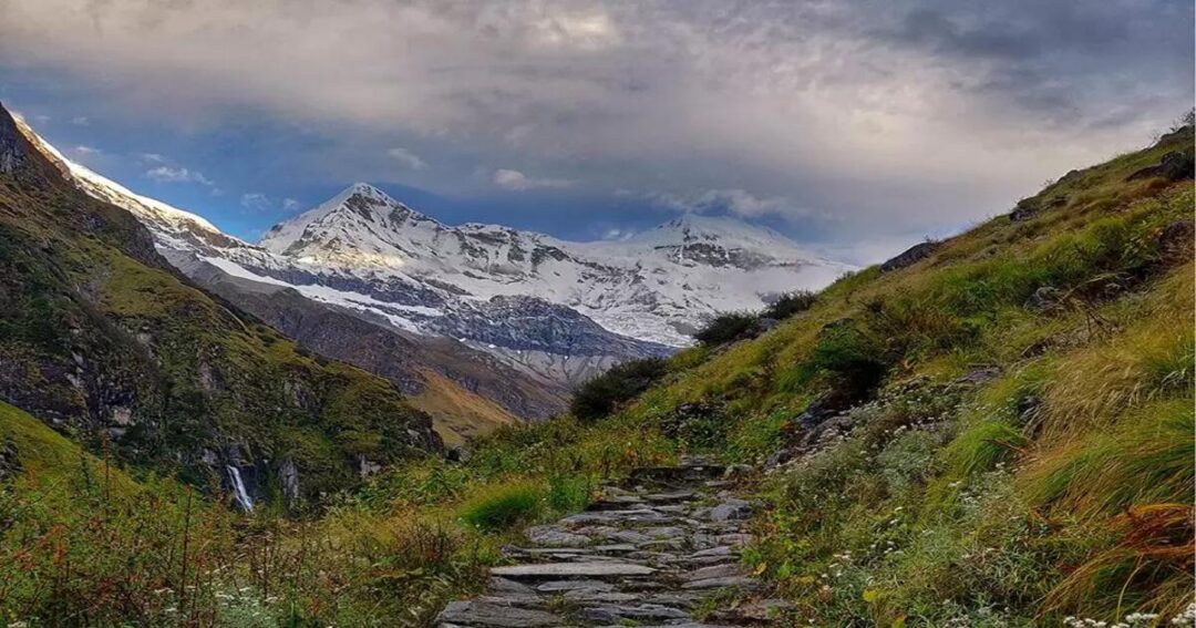
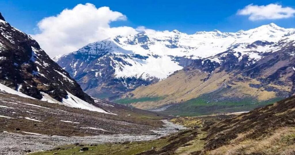
Pindari Glacier sits in the Kumaon Himalayas, tucked southeast of Nanda Devi (7,816 m) and Nanda Kot, and stretches roughly 9 km in length. It’s the source of the Pindar River, which eventually meets the Alaknanda at Karnaprayag—meaning water that starts at this glacier technically becomes part of the Ganges system further downstream.
The glacier has a documented scientific history dating back further than most Himalayan trekking destinations. Geologist G. de P. Cotter carried out the first formal survey in 1906, and a follow-up study during the 1958 International Geophysical Year recorded a retreat of 1,040 meters over those 52 years. By 1966, the glacier had retreated another 200 meters, and its Chhanguch branch had separated into its own distinct ice shelf. More recent research found the glacier retreated approximately 1,569 meters between 1976 and 2014—one of the more concretely documented examples of Himalayan glacial retreat and a genuinely sobering thing to see in person.
Also read: Gaumukh Tapovan Trek: Complete Guide to Uttarakhand’s Most Iconic Himalayan Adventure
Pindari Glacier Trek Route: From Roadhead to Zero Point
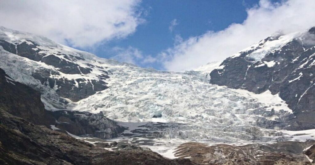
There isn’t just one route to Pindari Glacier—there are two, and they produce very different trek distances.
The Classic Route via Dhakuri Pass
The traditional route runs from Bageshwar through Song (Saung), Loharkhet, and Dhakuri Pass before joining the main trail at Khati village. This is the longer, more scenic version, adding a genuine mountain pass and extended forest walking to the trip, and it’s the route most historical accounts and Wikipedia’s trek description are based on—a 90 km round trip in total.
The Shorter Modern Route via Kharkiya
Today, a motorable road extends much closer to Khati, ending at a point often called Kharkiya. Most current trekking itineraries start here instead of at Loharkhet, cutting out the Dhakuri Pass section of the walk entirely and replacing it with a drive. This is the version most modern 6-day itineraries are built around, and it’s why you’ll see trek distance figures as low as 45 km—same destination, meaning a more meaningful, shorter walk.
Either way, from Khati onward the route is identical: Khati → Dwali → Phurkia → Zero Point, following the Pindar River valley upstream through rhododendron forest, alpine meadows, and increasingly stark high-altitude terrain.
Also read: Himalayan Treks to Ancient Shiva Temples: The Complete Guide
Pindari Glacier Trek Distance: Day-Wise Breakdown
Since the Pindari Glacier trek distance is one of the most-searched questions about this trek, here’s the day-wise breakdown for the shorter, modern route most trekkers use today:
| Day | Route | Approx. Distance | Notes |
| 1 | Drive to Kharkiya, trek to Khati. | ~5 km | Last proper village with regular facilities |
| 2 | Khati to Dwali | ~13 km | Crosses several landslide-prone stretches; go carefully in wet conditions |
| 3 | Dwali to Phurkia | ~5 km | Shorter day; some frozen stream crossings in colder months |
| 4 | Phurkia to Zero Point and back to Phurkia | ~15 km (round trip) | Summit day — earliest, clearest views of the glacier |
| 5 | Phurkia to Khati (via Dwali) | ~18 km | Long descent day, often done in one push |
| 6 | Khati to Kharkiya, drive back | ~5 km trek + drive | Trek ends; return journey begins. |
Adding up the walking segments gives a total in the 45–60 km range, though exact figures vary slightly between operators depending on how each one measures the Zero Point detour and the final village-to-roadhead stretch. If you’re specifically planning around the longer classic route through Dhakuri Pass, expect to add roughly 30–40 km more walking distance and likely an extra day or two on either end.
Pindari Glacier Trekking Difficulty & Altitude
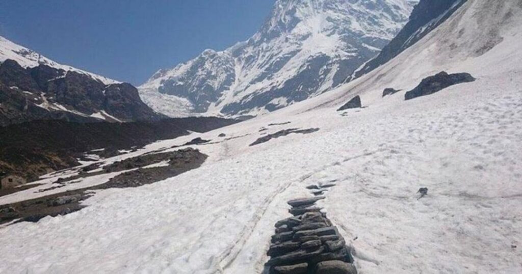
Pindari is consistently graded easy to moderate, which makes it a reasonable choice for a first Himalayan trek, though “easy” is relative to genuinely difficult treks rather than an absolute description.
- Maximum altitude is around 3,660–3,700 m at Zero Point—high enough to warrant basic acclimatisation awareness, but well below the range where altitude sickness becomes a major concern for most healthy trekkers
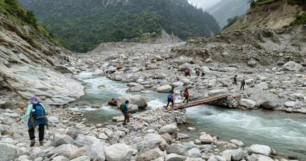
- The Khati-to-Dwali stretch crosses several landslide-prone sections, which can be genuinely tricky after rain
- Stream crossings near Phurkia can freeze over in colder months, adding a slippery element that a straightforward distance-and-altitude summary won’t capture
- Basic fitness (regular walking or light cardio training beforehand) is recommended, but no technical climbing or specialist equipment is required
Also read: Har Ki Dun Trek: The Complete Independent Trekker’s Guide (2026)
Pindari Glacier Trek: Best Time to Go
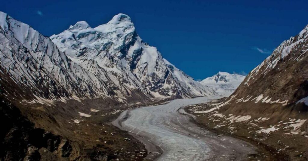
The Pindari Glacier trek’s best time falls into two distinct windows: April to June and September to November.
- April–June: Rhododendrons are typically in bloom lower down the trail, and trails are generally clear of heavy snow by late spring
- September–November: Post-monsoon skies tend to be clearer, giving better mountain visibility, with autumn colors as a bonus
- Avoid July–August: The monsoon significantly increases landslide risk on already unstable sections of the trail, particularly between Khati and Dwali
- Avoid December–March: Heavy snowfall typically closes the higher sections of the route, and the trek isn’t commonly run during peak winter
Permits & How to Reach Pindari Glacier Trek
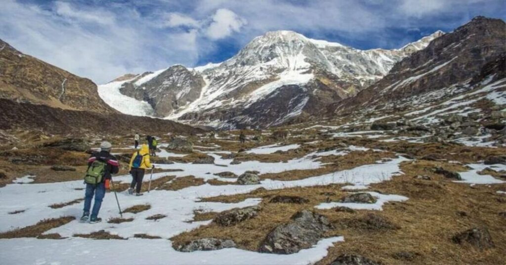
Getting to the trailhead and squaring away paperwork both happen through Bageshwar.
- By Air: The nearest airport is Pantnagar; from there, road transport connects to Bageshwar via Kathgodam or Almora
- By Rail: Kathgodam is the nearest railhead, well connected to Delhi and other major cities, with road transport onward to Bageshwar (roughly a full day’s drive combined)
- By Road: Regular buses and shared taxis run from Kathgodam and Almora to Bageshwar and from there to the trailhead at Loharkhet or Kharkiya, depending on your chosen route
- Permits: The trek passes through reserve forest areas within the Nanda Devi Biosphere Reserve, so a forest entry permit and trekking permit are required; these are typically obtained at Bageshwar before setting out
Also read: Himalayan Treks for Beginners: Top 10 Easy Treks in India
What to Pack for the Pindari Glacier Trek
A trek graded easy to moderate still means several days at altitude with limited access to shops, so packing right matters more than the grading suggests.
- Layered clothing—a moisture-wicking base layer, an insulating fleece or down layer, and a waterproof/windproof outer shell, since temperatures swing significantly between daytime walking and camp at night
- Broken-in trekking shoes with good ankle support, ideally waterproof, given the stream crossings near Phurkia
- Trekking poles, particularly useful on the steeper Khati–Dwali stretch and the long Phurkia–Khati descent day
- Sun protection — sunglasses and high-SPF sunscreen, since glare off snow near Zero Point is stronger than the temperature alone would suggest
- A headlamp with spare batteries, a basic first-aid kit, and a reusable water bottle with a purification method
- Copies of ID and permit documents, since these are checked at forest department checkpoints along the route
Final Thoughts About Pindari Glacier Trek
Pindari earns its reputation as one of Kumaon’s best introductory Himalayan treks, but the details matter more than the “easy” label suggests — which route you take changes your total distance by nearly double, and timing your trip around the right season makes a real difference to how the trail actually feels underfoot. Get those two things right, and the Pindari Glacier trek delivers a genuine glacier, real mountain views, and a documented slice of Himalayan geology in a single week-long trip.
Plan your Pindari Glacier trek with Explurger—download the app today.
Pick your route, lock in a season, and let the rest of the planning fall into place from there.
FAQs About Pindari Glacier Trek
2. What is the best time for the Pindari Glacier trek?
The best time for the Pindari Glacier trek is April to June and September to November, when trails are relatively clear and visibility is good. The monsoon months of July and August should be avoided due to landslide risk, and the trek is generally not attempted during the heavy snow of December through March.
3. Is the Pindari Glacier trek difficult?
No, the Pindari Glacier trek is generally graded easy to moderate, making it a reasonable choice for first-time Himalayan trekkers. That said, it still involves multiple days of walking at altitude, some landslide-prone sections, and occasional frozen stream crossings, so basic fitness preparation is still recommended.
4. How do I reach the Pindari Glacier trek starting point?
To reach the Pindari Glacier trek, most travelers fly into Pantnagar or take a train to Kathgodam, then continue by road to Bageshwar, which serves as the main access town. From Bageshwar, local transport covers the final stretch to the trailhead at Loharkhet or Kharkiya, depending on which route variant you're taking.
5. Do I need a permit for the Pindari Glacier trek?
Yes, since the trek passes through reserve forest areas within the Nanda Devi Biosphere Reserve, both a forest entry permit and a trekking permit are required. These are typically arranged at Bageshwar before starting the trek, so it's worth planning to arrive a little early to sort out the paperwork.
6. What is the maximum altitude of the Pindari Glacier trek?
The maximum altitude on the Pindari Glacier trek is approximately 3,660 to 3,700 meters (around 12,000 to 12,300 feet) at Zero Point, the closest viewing point to the glacier itself. This altitude is high enough to warrant basic acclimatisation awareness, but it's well below the range where altitude sickness typically becomes a serious concern for healthy trekkers.
7. Can beginners attempt the Pindari Glacier trek?
Yes, the Pindari Glacier trek is commonly recommended as a suitable first Himalayan trek because of its easy-to-moderate grading and non-technical terrain. Beginners should still prepare with some basic fitness training beforehand and pay attention to landslide-prone sections and stream crossings, which can be more demanding than the overall difficulty rating suggests.