
119 Total Views
The Ranthan Kharak Trek sits in Kumaon’s quieter corner of Uttarakhand, well short of the crowds that fill Har Ki Dun or Kedarkantha in the same season. It’s a genuinely doable trek for a fit beginner, but the distance, cost, and itinerary details are scattered across a dozen operator sites with slightly different numbers. Here’s what’s actually consistent across them.
Ranthan Kharak Trek Location: Gogina Village and the Kumaon Route
The Ranthan Kharak Trek location starts at Gogina village in Bageshwar district, in Uttarakhand’s Kumaon region — a quieter alternative to the more heavily trekked Garhwal side of the state. Most itineraries begin with a road journey from Kathgodam, roughly 233 km and 8–10 hours by vehicle, to reach Gogina base camp before the actual trekking starts. From there, the route runs through Namik village and Bajimanian Kharak before climbing to Ranthan Top itself, at an altitude of roughly 3,900–4,064 metres (about 12,800–13,300 feet).
- Where: Gogina Village, Bageshwar district, Kumaon region, Uttarakhand
- Nearest access point: Kathgodam, the standard starting point for most operator itineraries
- Good to know: Because this route sits in Kumaon rather than Garhwal, it stays noticeably less crowded than comparable-altitude treks near Sankri or Har Ki Dun
Ranthan Kharak Trek Distance: How Far You’ll Actually Walk?
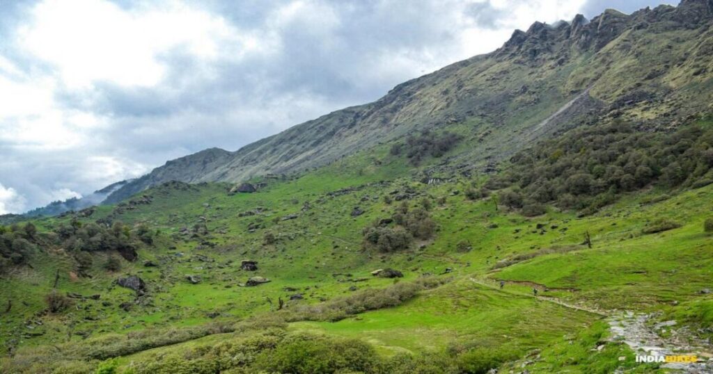
Total Ranthan Kharak Trek distance runs approximately 35–40 km round trip from Gogina to Ranthan Top and back, spread across several days of walking rather than one long push. Daily stretches are moderate — typically 5–7 km and 6–7 hours of walking per day — except for summit day, which combines the final climb and a long descent into a single 14–15 km, 11–12 hour day.
- Total distance: Roughly 35–40 km (Gogina to Ranthan Top and back)
- Daily distance: 5–7 km on regular trekking days, up to 14–15 km on summit day
- Good to know: This figure varies slightly between operators depending on exact campsite placement (some route through Bajimanian Kharak directly, others add an extra camp), so treat 35–40 km as a realistic range rather than an exact number
Ranthan Kharak Trek Difficulty Level: Who This Trek Suits?
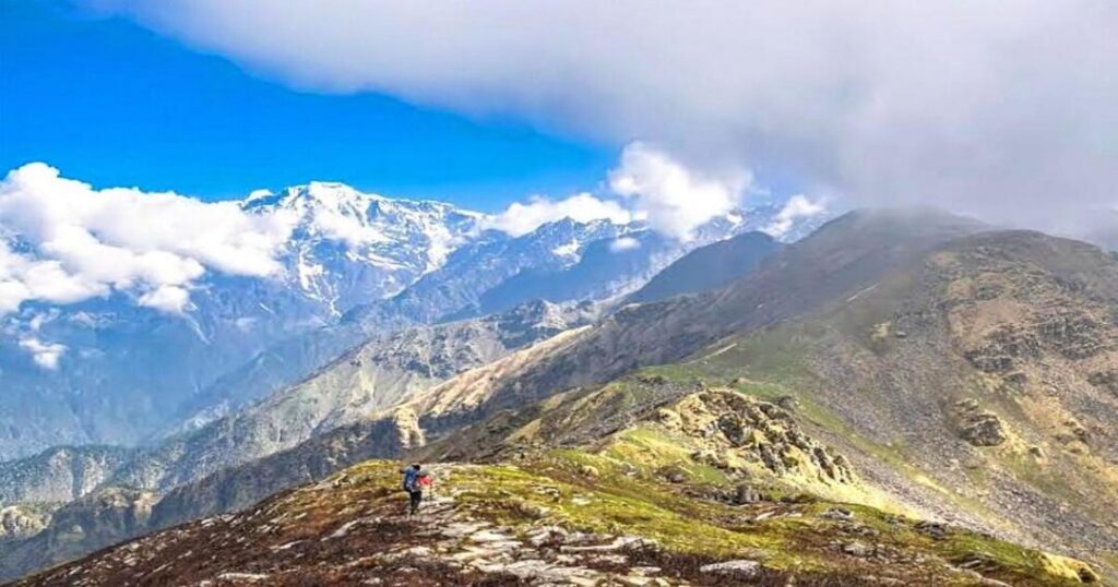
Most operators rate the Ranthan Kharak Trek difficulty level as easy-to-moderate, with no technical climbing, rope work, or glacier crossing involved. It suits fit beginners with some prior walking or light trekking experience, rather than requiring prior high-altitude trekking history.
- Difficulty: Easy to moderate
- Technical skill required: None — no rope work or technical climbing
- Fitness needed: Basic cardiovascular fitness and comfort walking 5–7 hours a day at altitude
- Good to know: This rating is genuinely more forgiving than the 4,000m-plus altitude might suggest, since the daily walking distances are shorter than many comparable Himalayan treks
Also Read: Chandrakhani Pass Trek: Complete Guide to Route, Distance & YHAI Itinerary
Ranthan Kharak Trek Itinerary: The Standard 7-Day Route
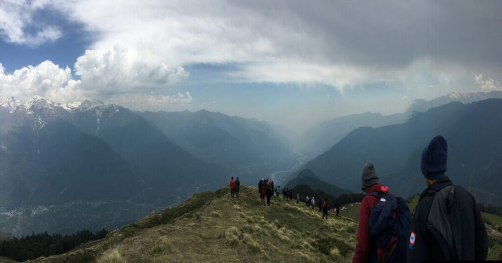
The most common Ranthan Kharak Trek itinerary runs 7 days total, including the road journey from Kathgodam on both ends. Exact campsite names vary slightly by operator, but the overall shape is consistent:
| Day | Route | Approx. distance |
| Day 1 | Drive from Kathgodam to Gogina base camp | 233 km by road |
| Day 2 | Gogina to Namik campsite | 5–7 km |
| Day 3 | Namik to Bajimanian Kharak | 5–6 km |
| Day 4 | Bajimanian Kharak to Ranthan Top (summit) and back toward Namik | 14–15 km |
| Day 5 | Namik back to Gogina | 5–7 km |
| Day 6 | Buffer day / drive from Gogina toward Kathgodam | — |
| Day 7 | Arrive Kathgodam, trip ends | 233 km by road |
- Good to know: Some operators split the summit push and descent across two separate days instead of one, adding a night at an intermediate camp like Thal Tok — check your specific operator’s day-by-day plan before assuming this exact table applies
Also Read: Jalori Pass Trek: The Easy Himalayan Hike Guide
Ranthan Kharak Trek Best Time: When to Go and When to Avoid It?
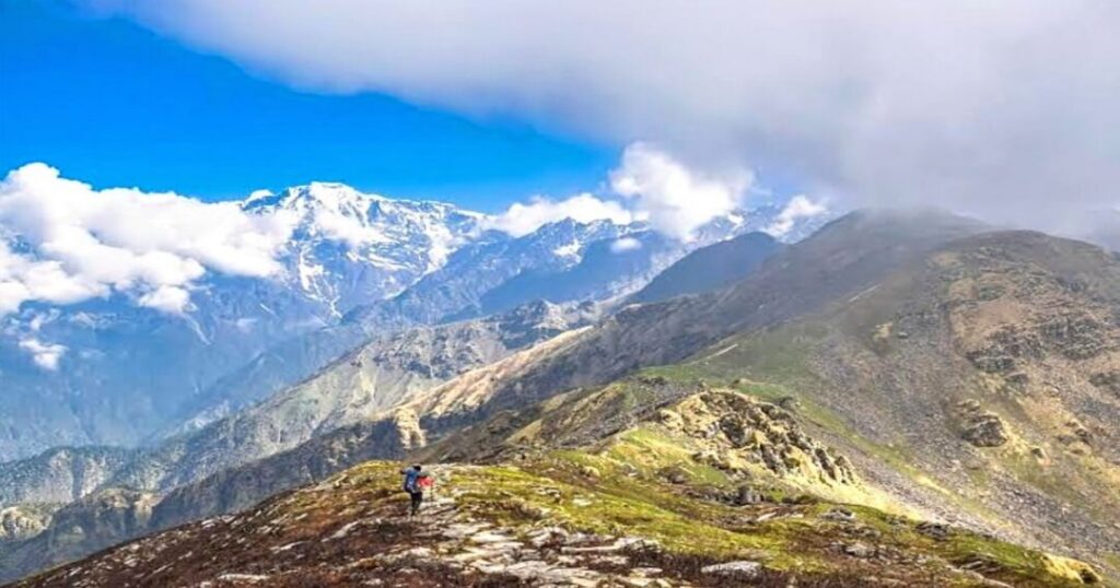
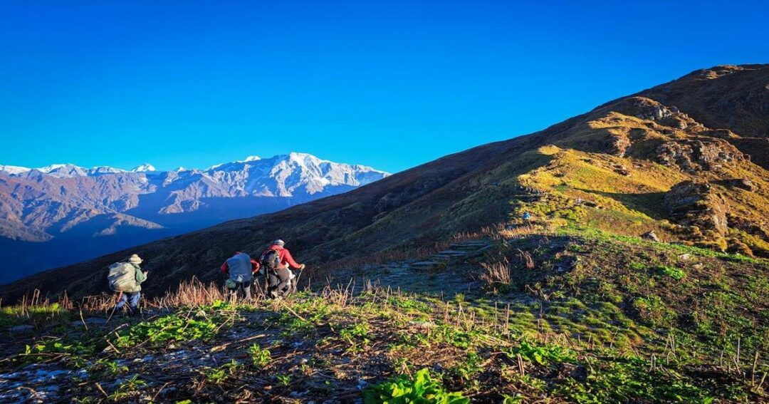
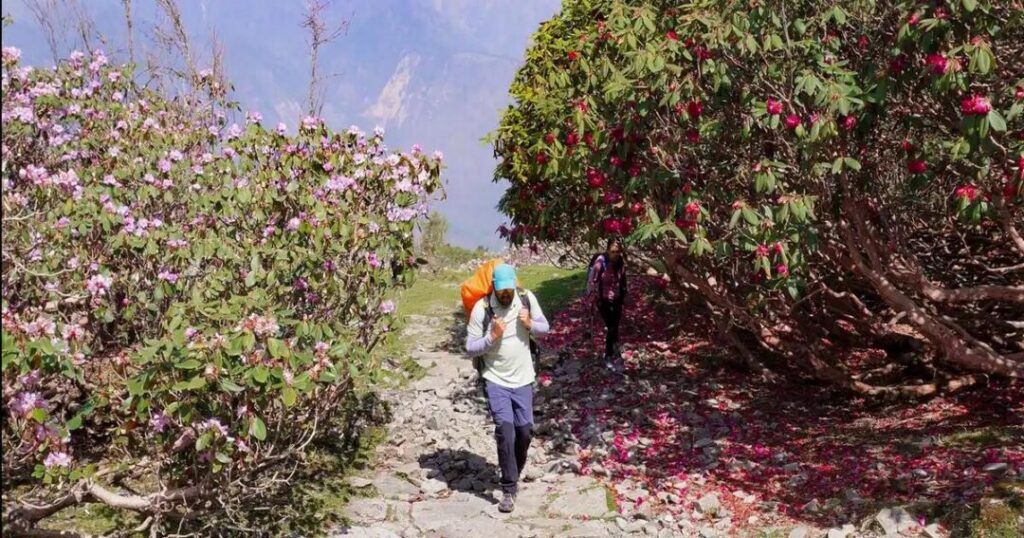
The Ranthan Kharak Trek best time falls in two windows: April through June, and mid-September through November. Spring brings rhododendron blooms along the lower trail sections, while autumn offers the clearest mountain views of peaks like Nanda Devi and the Panchachuli range. July and August, the monsoon months, are best avoided entirely — trail conditions turn hazardous with landslide risk and leech-heavy forest stretches.
- Best months: April–June (spring) and mid-September–November (autumn)
- Months to avoid: July–August (monsoon)
- Good to know: If mountain visibility matters more to you than wildflowers, autumn is the stronger pick — post-monsoon skies tend to stay clearer for longer stretches
Ranthan Kharak Trek Price: What It Actually Costs?
Ranthan Kharak Trek price typically starts around ₹9,000–10,500 per person plus 5% GST across the operators offering this route, though transportation from Kathgodam is sometimes billed separately (around ₹3,000 extra with some operators) and sometimes bundled into the base price. Treat any single number you see online as a starting point rather than a fixed figure — trek pricing shifts by operator, season, group size, and what’s included (meals, permits, guide fees, and transport all vary).
- Typical range: ₹9,000–10,500 per person + 5% GST, often plus a separate transport charge
- What usually varies: Transportation inclusion, number of meals covered, permit and forest entry fees, and group-size discounts
- Good to know: Always confirm exactly what’s included before booking — a lower headline price sometimes excludes transport or permits that a higher-priced package bundles in
A few practical essentials worth packing regardless of which operator you book with: layered clothing for temperature swings between valley and ridge, a decent rain shell even outside monsoon (weather in Kumaon can turn quickly), trekking poles for the steeper descent sections, and a basic first-aid kit with altitude-sickness essentials like paracetamol and electrolyte sachets. Most operators arrange permits and forest entry fees as part of the package, but it’s worth confirming this explicitly rather than assuming — a small number of budget operators pass this cost on separately, and it’s worth clarifying upfront rather than being surprised at the base camp checkpoint.
Also Read: Pin Parvati Pass Trek: Full Itinerary, Altitude, Cost, and Why It’s Called India’s Toughest Trek
Conclusion — Ranthan Kharak Trek at a Glance
However you plan it, a few things are worth carrying into your booking decision:
- The Ranthan Kharak Trek covers roughly 35–40 km over 6–7 days, rated easy-to-moderate, with no technical climbing required
- April–June and September–November are the two reliable windows; skip the July–August monsoon entirely
- Expect to pay roughly ₹9,000–10,500 plus GST as a starting price, and confirm what’s actually included before comparing operators
For a Kumaon trek that skips the Garhwal crowds without sacrificing the views, the Ranthan Kharak Trek is worth serious consideration.
Planning your own Himalayan trip? Download the Explurger app and start mapping your next trek today.
Cross-check the exact itinerary and price with your chosen operator before booking — the numbers above are a reliable starting range, not a universal fixed quote.
FAQs About Ranthan Kharak Trek
2. How long is the Ranthan Kharak Trek distance?
The total round-trip distance from Gogina to Ranthan Top and back runs approximately 35–40 km, spread across a 6–7 day itinerary. Daily stretches are typically 5–7 km, except for summit day, which combines the climb and descent into a longer 14–15 km push.
3. What is the best time for the Ranthan Kharak Trek?
April through June and mid-September through November are the two recommended windows, with spring offering rhododendron blooms and autumn offering clearer mountain views. July and August, the monsoon months, should be avoided due to landslide risk and difficult trail conditions.
4. How much does the Ranthan Kharak Trek cost?
Prices typically start around ₹9,000–10,500 per person plus 5% GST, though this varies by operator, season, and what's included — some packages bundle transport from Kathgodam, others charge it separately at roughly ₹3,000 extra. Always confirm inclusions before comparing quotes across operators.
5. Where does this trek start?
The trek begins at Gogina village in Bageshwar district, Kumaon region, Uttarakhand, typically reached via a road journey of about 233 km and 8–10 hours from Kathgodam. From Gogina, the trail runs through Namik village and Bajimanian Kharak before climbing to Ranthan Top.
6. What is the altitude of Ranthan Kharak Trek's highest point?
Ranthan Top, the trek's highest point, sits at roughly 3,900–4,064 metres (about 12,800–13,300 feet), depending on which operator's measurement you reference. It's high enough to offer views of peaks including Nanda Devi and the Panchachuli range on a clear day.