
98 Total Views
It is hard to overstate how little rain falls in northern Chile. Wikipedia calls the Atacama Desert the driest non-polar desert in the world and says some weather stations there have never recorded rain. It is also a landscape of salt flats, geysers, red valleys, coastal fog, and some of the clearest night skies on Earth. This guide covers five places to start with, where the desert is and how big it is, its coordinates, cities and coast, the driest places on record, photography tips, and the Spanish and Hindi terms you may meet. A timely point: 2026 is an exceptional year, because record winter rain has brought the flowering desert to the Atacama Region, and reports expect it to last until about November.
Best Atacama Desert Places to Visit
These five stops show the range, from red valleys to geysers to a once-in-a-decade bloom. Distances and times come from the guides named and may have changed.
1. Valle de la Luna
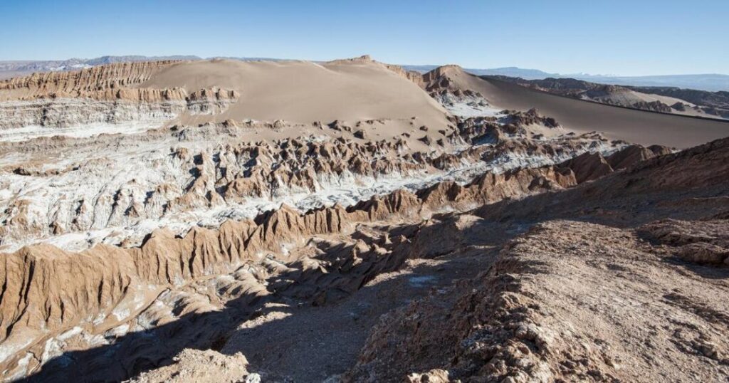
Red rocks, sand dunes, and salt veins are about 10 minutes from San Pedro de Atacama, according to Afar. A travel guide says it is best seen by car or a guided sunset tour, and Location Scout recommends it for blue-hour and night photography.
2. El Tatio Geysers
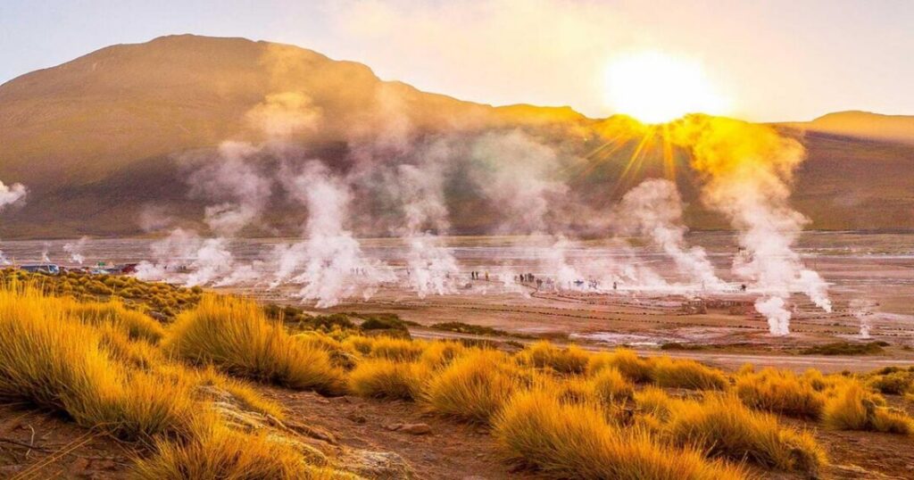
A large geyser field at about 4,300 meters, according to 22 Places, and roughly 50 miles from San Pedro, according to Afar. Afar says the geysers are most active between 5:30 and 7:30 am, and temperatures can drop below freezing, so plan an early start and warm clothes.
You May Also Like: Famous Desert in the World: 11 Most Stunning Sand Kingdoms for Adventure Travellers
3. Salar de Atacama and Its Lagoons
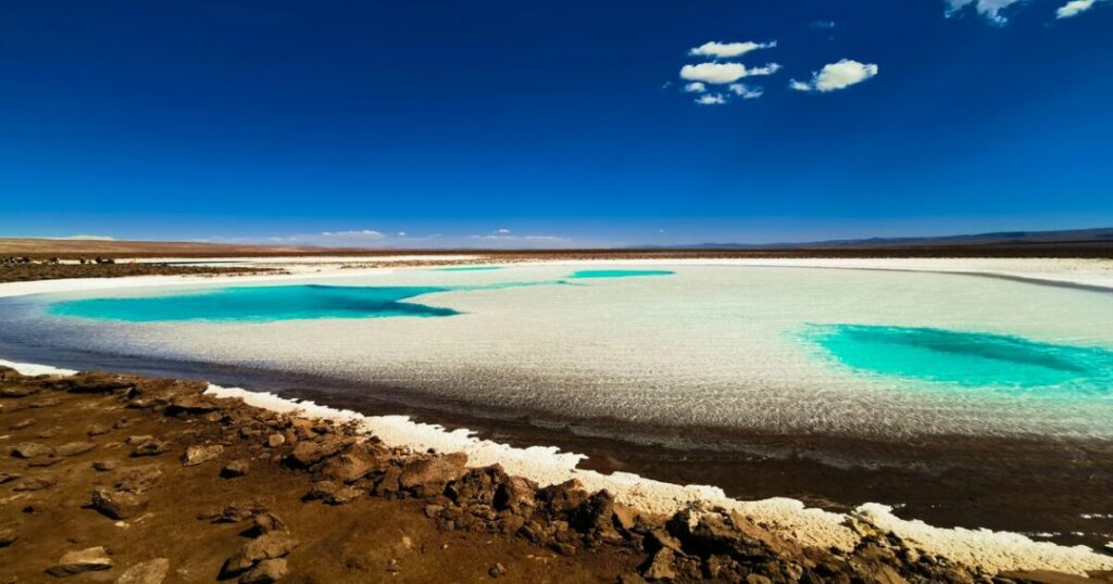
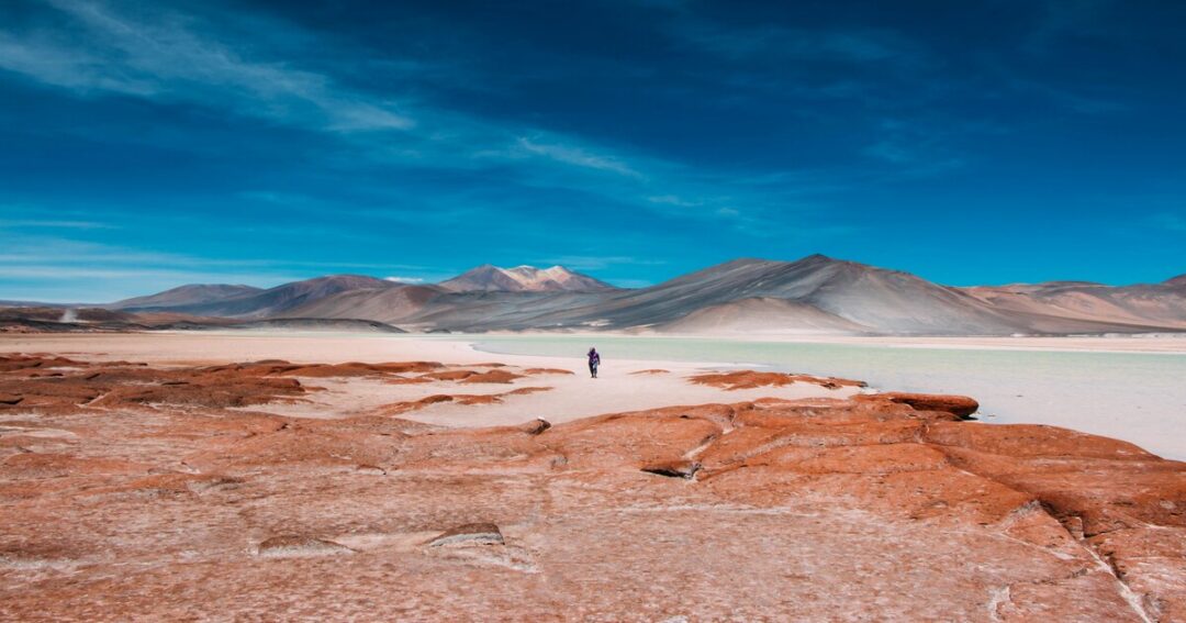
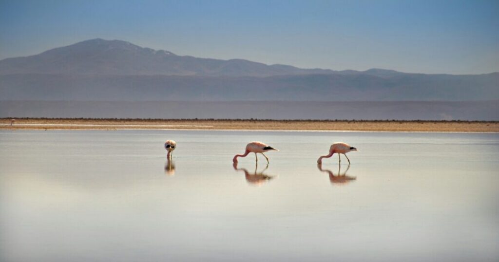
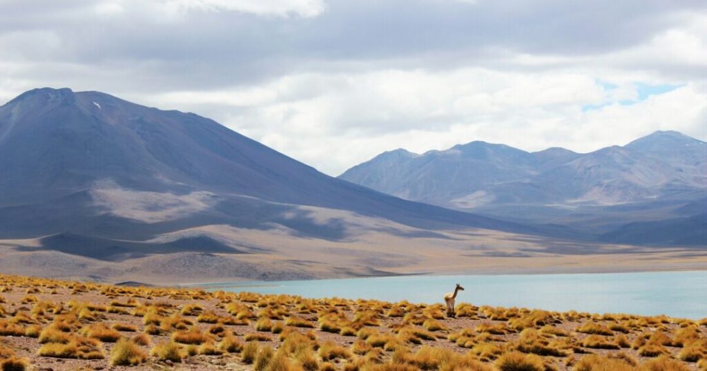
Wikipedia describes the Salar de Atacama as the salt flat where bischofite is extracted and where the endemic lizard Liolaemus fabiani lives. Nearby lagoons are flamingo spots: Afar lists Miscanti and Miñiques, about 90 minutes south of San Pedro at 13,860 feet, within Los Flamencos National Reserve, and 22 places list Chaxa and others.
4. The Night Sky and Observatories
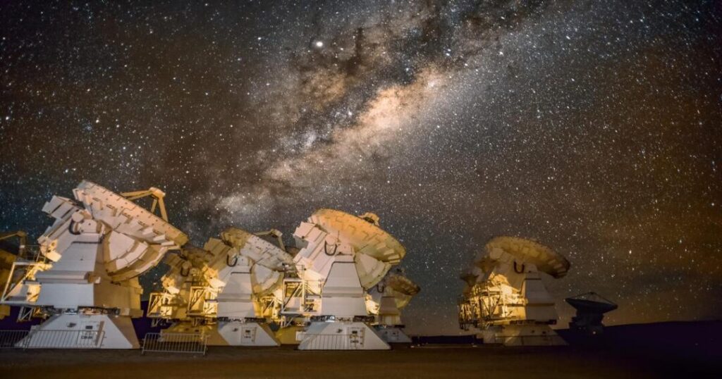
Wikipedia says the desert has excellent conditions for astronomy, with ALMA at the Llano de Chajnantor Observatory and the Very Large Telescope at Paranal. Afar says the desert gets more than 300 clear nights a year and that star tours with large telescopes are available, and 22 places advises avoiding full-moon nights.
5. The Flowering Desert Near Copiapó (2026)
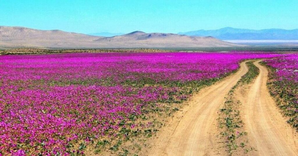
Chile Travel, the national tourism site, lists Llanos de Challe National Park about 90 km northwest of Vallenar and Desierto Florido National Park about 30 km south of Copiapó among the suggested spots, with the peak expected in the second half of October and possibly into November. This is covered in more detail in the timing note below.
Atacama Desert Region: Where It Is and How Big?
The Atacama Desert region is a desert plateau in northern Chile on South America’s Pacific coast, west of the Andes. According to Wikipedia, it borders Peru to the north, the Chilean Matorral to the south, and the Central Andean dry puna to the east and covers about 105,000 square kilometers, or about 128,000 if the barren lower Andean slopes are included. It stretches about 1,600 km along the coast. Guinness World Records instead gives the location as Chile and Peru, so the sources disagree on whether any of it counts as Peruvian. Wikipedia ties the extreme dryness to a two-sided rain shadow, between the Andes and the Chilean Coast Range. Administratively, the places in this guide sit mainly in the Antofagasta and Atacama regions of Chile.
You May Also Like: Festivals in America: A Complete Guide to Iconic US Events
Atacama Desert: Spanish Terms You Should Know
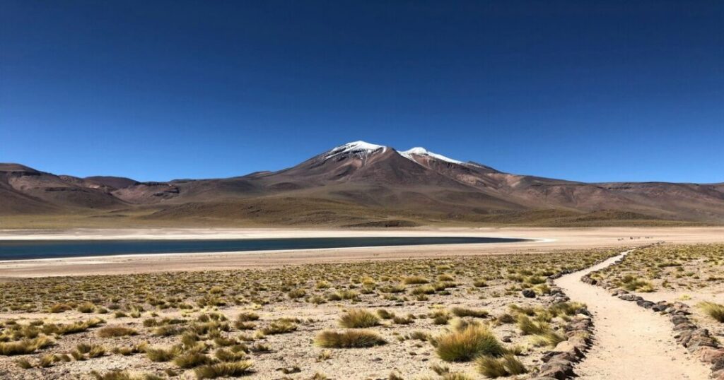
Anyone searching “desert de atacama” is probably encountering the Spanish names. The Spanish word for desert is “desierto,” and a few terms recur in the sources:
- Desierto florido: The flowering desert, which Wikipedia says appears from September to November in years with enough rain.
- Camanchaca: The coastal fog that Guinness World Records says supplies most of the desert’s moisture.
- Salar: A salt flat, as in the Salar de Atacama.
- Conaf: Chile’s National Forestry Corporation, which Euronews says made the 2026 bloom estimates.
Atacama Marusthal: What the Hindi Word Means
For Hindi readers, “atacama marusthal” simply means the Atacama Desert. Rekhta’s dictionary gives “marusthal” as a masculine noun meaning “desert,” a sandy arid tract, or “wasteland,” of Sanskrit origin. WisdomLib says the Sanskrit marusthali is formed from maru and sthali and that Indian sources link the term to the Marwar region of western Rajasthan, which is part of the Thar. The Atacama is a very different kind of desert, so “marusthal” is a translation, not a comparison. We did not research the Thar’s climate for this post.
About Atacama Desert: Key Facts
A quick summary of the Atacama Desert from the sources:
- Location: Northern Chile, on the Pacific coast, west of the Andes.
- Size: About 105,000 km², or about 128,000, with the lower Andean slopes, about 1,600 km long.
- Rainfall: About 15 mm a year on average, according to Wikipedia, and 10 to 15 mm, according to Guinness. Some places get only 1 to 3 mm.
- Fog Desert: Wikipedia calls it the largest fog desert on Earth.
- Geology: A low-relief bench described as similar to a giant uplifted terrace.
- Mars link: Parts have soil similar to Mars, and NASA uses the region to test instruments.
- Temperature: Generally mild year-round with a cold desert climate. 22places says June to August is very cold at high altitude.
You May Also Like: 10 Oldest Forests in the World: Exploring Earth’s Ancient Forests
Atacama Desert Cities: Where to Base Yourself
Wikipedia names six main places. Notes on the key Atacama Desert cities and gateways:
- Antofagasta: A port city about 1,100 km north of Santiago, with 401,096 people at the 2024 census, a service hub for copper and lithium mining.
- Calama: The usual airport for visitors. Afar says to fly about two hours from Santiago and drive about 90 minutes to San Pedro, while Wikipedia gives San Pedro as about 106 km southeast of Calama.
- San Pedro de Atacama: About 2,407 meters above sea level, the usual base for the sights above. Wikipedia gives conflicting populations of 10,960 (2012) and 4,969 (2002).
- Copiapó: The gateway to the flowering desert, with Desierto Florido National Park about 30 km to the south, according to Chile Travel.
- Iquique and Arica: Both are named by Wikipedia as desert towns. Guinness gives Arica about 0.76 mm of rain a year.
Atacama Desert: Ranking Among the Driest Places
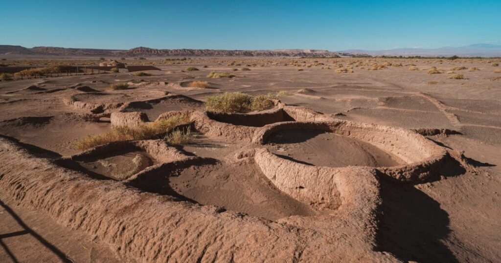
Among the driest places in the world, the Atacama holds the records according to Guinness World Records:
- Quillagua, Chile: About 0.5 mm of rain a year on average from 1964 to 2001, found by Keo Films for a 2001 documentary.
- Arica, Chile: 172 months without rain, from October 1903 to January 1918, verified by the World Meteorological Organization, with about 0.76 mm a year.
- The hyper-arid core: Some areas have no rainfall record since observations began about 500 years ago.
- For comparison: The Antarctic Ice Sheet is the driest cold desert, with no more than 50 mm of water equivalent a year, and the Sahara gets 100 to 250 mm.
We did not research other candidate dry places such as the McMurdo Dry Valleys.
Atacama Desert Photography: Where and When to Shoot
For Atacama Desert photography, the sources suggest these approaches:
- Stars at Valle de la Luna: Location Scout recommends blue hour and night, a tripod, a slightly longer exposure, a very open aperture, and ISO only as high as needed. It says you can park on a small gravel road, that the valley had nearly no other people when the writer visited, and that it gets cold at night.
- Moon phase: 22 places advise avoiding full-moon nights for stargazing.
- Geysers at dawn: Afar says the best activity is between 5:30 and 7:30 am, when temperatures can be below freezing.
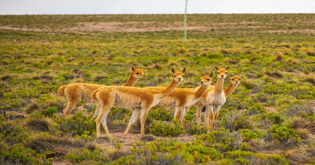
- Lagoons and wildlife: Afar lists flamingos and horned coots at Miscanti and Miñiques and flamingos, vicuñas, and foxes at Salar de Tara, which is above 13,000 feet.
- Wildflowers: Chile Travel asks visitors to stick to roads and marked trails, not to step on plants, pick flowers or collect seeds or bulbs, and to take rubbish with them.
Season note: 22 places give September to May as the best time and say June to August is very cold at altitude. The 2026 flowering desert is a special case: Euronews (September 23, 2026) says record rain, with over 180 mm in some areas, triggered the bloom, and that Conaf forecasts a peak in October. Chile Travel says the peak is expected in the second half of October, possibly into November. The Star (October 20, 2026) says the bloom is expected to last until November, covers more than 200 plant species, and could attract nearly 300,000 overnight trips. The size is reported inconsistently, as 15,000 hectares (Euronews), 15,000 km² (Chile Travel, citing Conaf projections), and 17,000 km² (The Star), so treat the area as unsettled. Chile Travel says the flowering needs roughly 15 to 30 mm of rain and does not happen every year. The July rains also killed at least 13 people and destroyed or damaged about 4,000 homes, according to Euronews, so check local conditions and advisories.
Conclusion: Atacama Desert
The Atacama Desert rewards planning: base yourself in San Pedro de Atacama for the geysers, valleys, and night sky; add Copiapó for the 2026 bloom; and bring warm layers for dawn and altitude. Confirm bloom conditions and any advisories locally before you go.
Planning a trip to Chile’s desert? Open the Explurger app to find travelers heading to San Pedro de Atacama and share routes and tips.
FAQs About Atacama Desert
2. Why is the Atacama Desert so dry?
Wikipedia ties its aridity to a two-sided rain shadow between the Andes and the Chilean Coast Range. Guinness says most of its moisture comes from coastal fog called camanchaca.
3. What are the driest places in the world?
According to Guinness World Records, Quillagua in the Atacama averaged about 0.5 mm of rain a year from 1964 to 2001, and Arica went 172 months without rain between 1903 and 1918.
4. What are the coordinates of the Atacama Desert?
About 24°30′S, 69°15′W, according to Wikipedia. The Quillagua weather station is at 21°38′S, 69°33′W, according to Guinness World Records.
5. What does "marusthal" mean in Hindi?
It means desert. Rekhta's dictionary gives it as a masculine noun of Sanskrit origin meaning a sandy, arid tract. So "Atacama marusthal" means the Atacama Desert.
6. What are the main cities in the Atacama Desert?
Wikipedia names Antofagasta, Calama, Iquique, Arica, Copiapó, and San Pedro de Atacama. Most towns are along the Pacific coast, and San Pedro sits at about 2,400 meters.
7. When does the Atacama Desert bloom?
The flowering desert appears from about September to November in years with enough rain. In 2026, Chile Travel expects the peak in the second half of October, possibly into November.