
1,018 Total Views
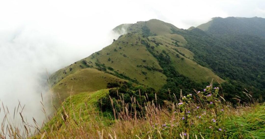
The Tadiandamol trek climbs to the highest point in Kodagu district, a grassy summit inside the Brahmagiri Wildlife Sanctuary that most sources place at 1,748 meters (5,735 feet), though a few list it slightly lower at 1,746 meters—either way, it’s the tallest thing around for a long stretch of the Western Ghats. The route starts at a two-storied palace built in 1792, cuts through coffee estates and shola forest, and ends on an open grassland ridge where, on a clear day, the view stretches across tea and coffee country all the way to the horizon.
Best Tadiandamol Trek Route and Highlights
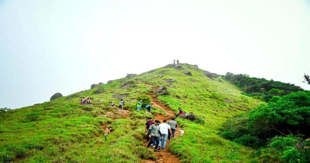
The full route runs about 11 km round trip and unfolds in four distinct stages, each with a different character.
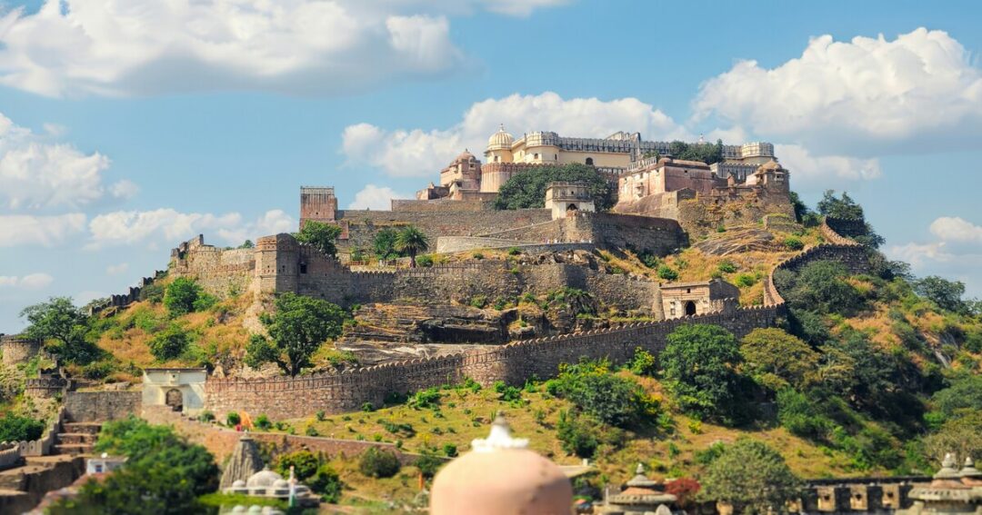
Nalknad Palace: Where the Trek Begins
[STAT: Nalknad Palace, the trek’s base camp, was built in 1792 by Dodda Veerarajendra as a two-story royal residence and today marks the starting point for most Tadiandamol trek itineraries — Coorg Tourism]
- The trek typically starts at Kakkabe Bridge, about 250 km from Bangalore, with a short road walk from there to the palace gates.
- The palace itself is worth a few minutes before setting off—it’s one of the few surviving structures from Kodagu’s pre-British ruling period.
Also Read: Brahmagiri Trek: The Complete Guide to Coorg’s Wildlife Sanctuary Summit
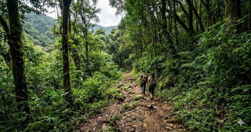
Forest Ascent and Boulder Point
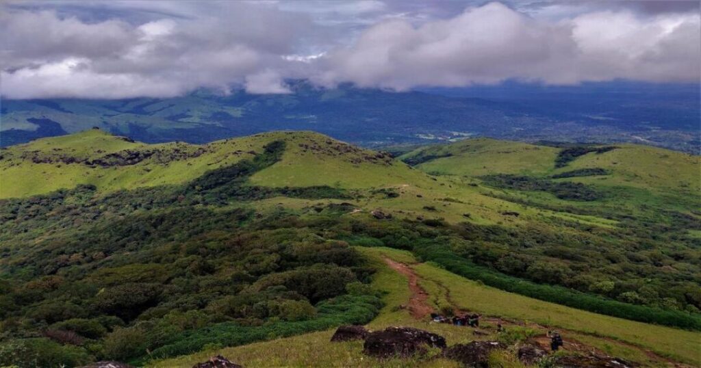
[STAT: past Nalknad Palace, the trail climbs through forest with several stream crossings, then passes through dense shola forest before reaching a spot known as Boulder Point, ahead of the final grassland stretch to the summit—IndiaHikes]
- This middle stretch is the most physically demanding part of the climb, with sustained uphill sections through mixed terrain.
- Stream crossings can get slippery, and this section is also where leeches are most common during and after the monsoon.
The Final Grassland Climb to the Summit
[STAT: the last leg of the Tadiandamol peak trek opens into rolling grassland, ending at a marked summit point with a pole and board; on clear days, the view extends across rolling hills, tea and coffee estates, and forested ridgelines in every direction — IndiaHikes]
- This open section is where the trek earns its reputation—after nearly two hours of tree cover, the grassland ridge feels like a different landscape entirely.
Also Read: Places to Visit in Coorg: The Complete Guide to Kodagu’s Best Experiences
Flora and Fauna Along the Trail
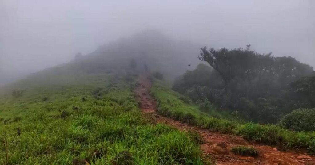
[STAT: the trek passes through Shola Forest as well as coffee and pepper plantations, with wildlife sightings that can include the Bicoloured Frog, wild elephants, snakes, millipedes, and various butterfly species, plus seasonal wildflowers like Wild Turmeric (Curcuma aromatica)—IndiaHikes]
- Wild elephant movement in the area means trekkers should stick to the marked trail and follow any guide or forest department advisory in force on the day.
Also Read: Channarayana Durga Trek: The Complete Guide to Karnataka’s Hidden Fort Trek
Tadiandamol Trek Difficulty and Fitness Requirements
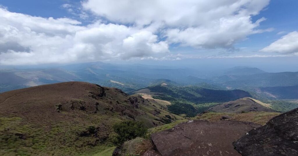
For most people asking whether Tadiandamol trekking is manageable, the honest answer is yes, with some preparation. IndiaHikes rates it accessible to fit beginners comfortable with sustained uphill walking on mixed terrain, and no technical climbing skills are needed at any point. Thrillophilia’s guidance is similar but a touch more cautious, recommending a moderate fitness level and advising against the trek for anyone with breathing difficulties or a severe back condition. Carrying enough water, wearing sturdy shoes, and packing leech socks during the wetter months all make a real difference to how the climb feels.
Tadiandamol Trek Distance and Duration
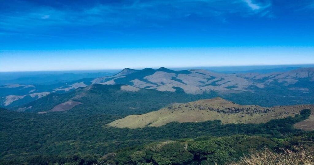
The Tadiandamol trek distance runs to roughly 11 km for the round trip from Nalknad Palace, with reported timings of about 4.5 hours for the ascent and 3 hours coming back down—a full day out, even for reasonably fit trekkers. Some operators quote a shorter 6 km one-way stretch from a slightly different starting point, taking 2-3 hours each direction, so it’s worth confirming the exact starting point with whichever guide or itinerary you book, since the numbers vary depending on how much of the initial road walk is counted.
Also Read: Chembra Peak: The Complete Trekking Guide to Wayanad’s Highest Peak
How to Book Your Tadiandamol Trek
[STAT: the trail operates from 6:00 AM to 6:00 PM daily, and while some sources list a forest checkpoint entry fee of around Rs. 20 per person, others describe the trek as free of charge—this discrepancy is worth confirming directly with the forest department or your trek operator before you go—Thrillophilia / Coorg Tourism]
- A Tadiandamol trek booking through an established operator (IndiaHikes, Bikat Adventures, and similar Coorg-based outfits all run scheduled batches) is the simplest way to sort out permits, a local guide, and transport from Madikeri in one step.
- Solo or DIY trekkers can drive as far as the point where the road becomes unsuitable for larger vehicles and continue on foot from there but should still register at the forest checkpoint before setting off.
- Starting early is worth building into any booking—the trek needs to be completed within the daily operating window, and afternoon cloud cover can hide the summit views that make the last stretch worthwhile.
What is the Best Time to Visit Tadiandamol?
[STAT: the recommended window for the Tadiandamol trek is just after the monsoon, from September to October, and through winter from November to February, when trails are drier and visibility is at its best; some sources extend the favorable season out to as late as May—Thrillophilia/Coorg Tourism]. Monsoon months (June-August) turn the shola forest a deep green but also bring the heaviest leech activity and the most slippery stream crossings, so most operators either pause batches or recommend extra caution during this stretch.
How to Reach Tadiandamol
- By Road: Madikeri, the nearest major town in Coorg, is about 35-40 km from the trek base, with Kakkabe roughly 8 km away; Bangalore to the trailhead is around 250 km, about a 6-hour drive via the Mysore-Kushalnagar route.
- By Rail: Mysore is the nearest major railway station, roughly 100-110 km from the base, with taxis and buses covering the rest of the journey into Coorg.
- By Air: Mangalore International Airport is the closest major airport, roughly 140-170 km from the Coorg side of the route depending on the exact approach, making it a marginally shorter option than routing through Bangalore for travelers coming from the coast.
Conclusion: Tadiandamol Trek
Between a 1792 palace at the base, a shola forest crossing thick with butterflies and the occasional wild elephant, and a grassland summit that opens onto the whole of coffee country, the Tadiandamol trek packs a genuinely varied day into one of Coorg’s shorter, more accessible climbs. Whether you book through an established operator or plan it yourself from Madikeri, getting an early start and checking the current entry fee and permit situation are the two things worth sorting out before you go.
Ready to plan your Coorg trek? Download the Explurger app and start building your Tadiandamol itinerary today.
FAQs About Tadiandamol Trek
2. What is the Tadiandamol trek distance?
The Tadiandamol trek distance is roughly 11 km round trip from Nalknad Palace, taking about 4.5 hours up and 3 hours back down. Some operators describe a shorter 6 km one-way route starting from a different point, taking 2-3 hours each way, so it's worth confirming the exact route length with your specific trek booking.
3. How tall is Tadiandamol peak?
Tadiandamol peak stands at approximately 1,748 metres (5,735 feet), making it the highest point in Kodagu district, though a few sources list it marginally lower at 1,746 metres. Sources also differ on whether it ranks as the second or third highest peak in Karnataka overall, so treat the exact state-wide ranking as approximate.
4. What is the best time for a Tadiandamol peak trek?
The best time for a Tadiandamol peak trek is just after the monsoon, from September to October, and through the winter months of November to February, when trails are driest and visibility is clearest. Monsoon season (June-August) brings lush green scenery but also heavy leech activity and slippery stream crossings.
5. How do I make a Tadiandamol trek booking?
A Tadiandamol trek booking is easiest through an established operator such as IndiaHikes or Bikat Adventures, which handle permits, a local guide, and transport from Madikeri as part of the package. DIY trekkers can also drive to the trailhead and register at the forest checkpoint directly, though confirming the current entry-fee situation beforehand is recommended.
6. Where does the Tadiandamol trek start?
Most Tadiandamol trek itineraries begin at Kakkabe Bridge, about 250 km from Bangalore, with a short road walk to Nalknad Palace, a two-storied royal residence built in 1792 that now serves as the trek's base camp.