

1,011 Total Views
Some places in the Himalayas impress you with towering peaks, and then there are places like Dayara Bugyal that quietly steal your heart.
Located in Uttarakhand’s Uttarkashi district, this beautiful bugyal trek is often considered one of the most scenic meadow treks in India. While many adventure seekers flock to the famous Ali Bedni Bugyal Trek, Dayara offers a similar Himalayan charm with easier trails, making it perfect for beginners, families, photographers, and nature lovers alike.
Whether covered in wildflowers during spring, painted green in summer, glowing golden in autumn, or buried under fresh snow in winter, Dayara Bugyal transforms with every season and never looks the same twice.
What Makes Dayara Bugyal So Special?
The word “Bugyal” refers to high-altitude alpine meadows found in Uttarakhand. These vast grasslands sit above the tree line and offer some of the most spectacular landscapes in the Indian Himalayas.
Among the state’s famous meadows, including Ali Bedni Bugyal, Bedni Bugyal, Gurson Bugyal, and Panwali Kantha, Dayara holds a special place because of its accessibility and breathtaking beauty.
Unlike many Himalayan treks that require extensive preparation, Dayara rewards trekkers with grand views without demanding extreme effort. It is one of those rare treks where the journey feels as beautiful as the destination.
Dayara Bugyal Trek Overview
| Trek Details | Information |
| Location | Uttarkashi, Uttarakhand |
| Trek Grade | Easy to Moderate |
| Maximum Altitude | 12,000 ft |
| Duration | 4-5 Days |
| Dayara Bugyal Trek Distance | 18-22 km |
| Base Village | Raithal |
| Best Time | March-June & September-February |
| Nearest Airport | Jolly Grant Airport, Dehradun |
| Nearest Railway Station | Dehradun |
The Journey Begins: Reaching Raithal Village
Every memorable trek starts with a road journey, and Dayara Bugyal is no different.
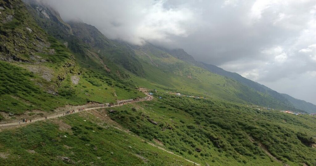
The drive from Dehradun winds through mountain roads, riverside valleys, and traditional Garhwali villages. As the plains disappear behind you, the Himalayas begin to reveal themselves.
Eventually, you arrive at Raithal, a charming mountain village that serves as the base camp for the trek. Stone houses, terraced farms, and smiling locals create the perfect introduction to life in the Himalayas.
As evening falls, the distant silhouettes of snow-covered peaks hint at the adventure waiting ahead.
Also Read: Nag Tibba Trek: The Complete Guide to the Serpent’s Peak Weekend Trek
Through Forests and Mountain Trails
The next morning, the trek begins.
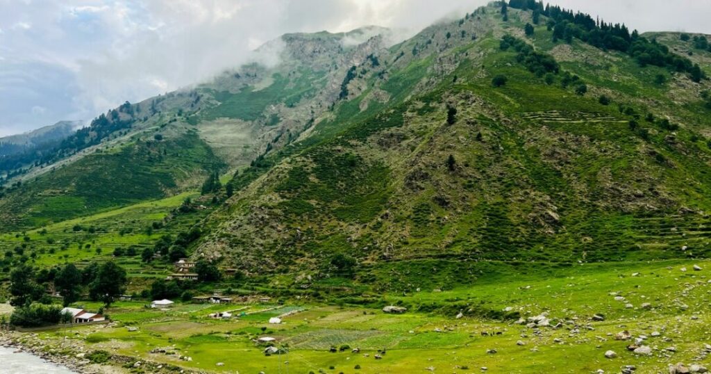
The trail gradually climbs through dense oak forests, where sunlight filters through the trees and creates golden patches on the forest floor. The air feels fresh and cool, carrying the scent of pine and earth.
The route toward Gui campsite is gentle enough for beginners, yet scenic enough to keep experienced trekkers captivated.
As you gain altitude, glimpses of distant Himalayan peaks begin appearing between the trees. Each turn offers a new view and a new reason to stop and admire the landscape.
The Moment Dayara Bugyal Reveals Itself
Every trek has a defining moment.
For Dayara Bugyal, it arrives when you step out of the forest and onto the meadow.
Suddenly, the world opens up.
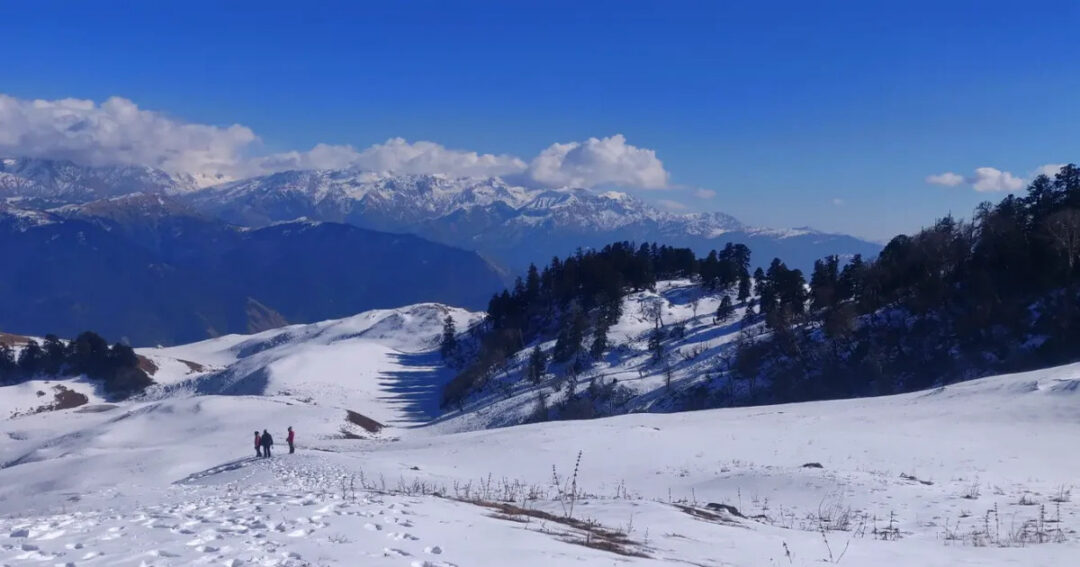
Rolling grasslands stretch in every direction. The horizon is lined with majestic Himalayan peaks. During spring and summer, the meadows glow in shades of green, while autumn paints them golden. In winter, a blanket of snow transforms the landscape into a white wonderland.
Many trekkers spend several minutes standing silently, simply taking it all in.
It’s the kind of place that photographs struggle to capture.
Dayara Bugyal Trek Distance
One of the most common questions among trekkers is about the Dayara Bugyal Trek distance.
The trek generally covers:
- Raithal to Gui: 4-5 km
- Gui to Dayara Bugyal: 4 km
- Meadow exploration: 3-5 km
- Return journey: Similar distance
Total Trek Distance: Approximately 18-22 km round trip.
The moderate distance and gradual ascent make it one of Uttarakhand’s best beginner-friendly Himalayan treks.
Views That Stay With You Forever
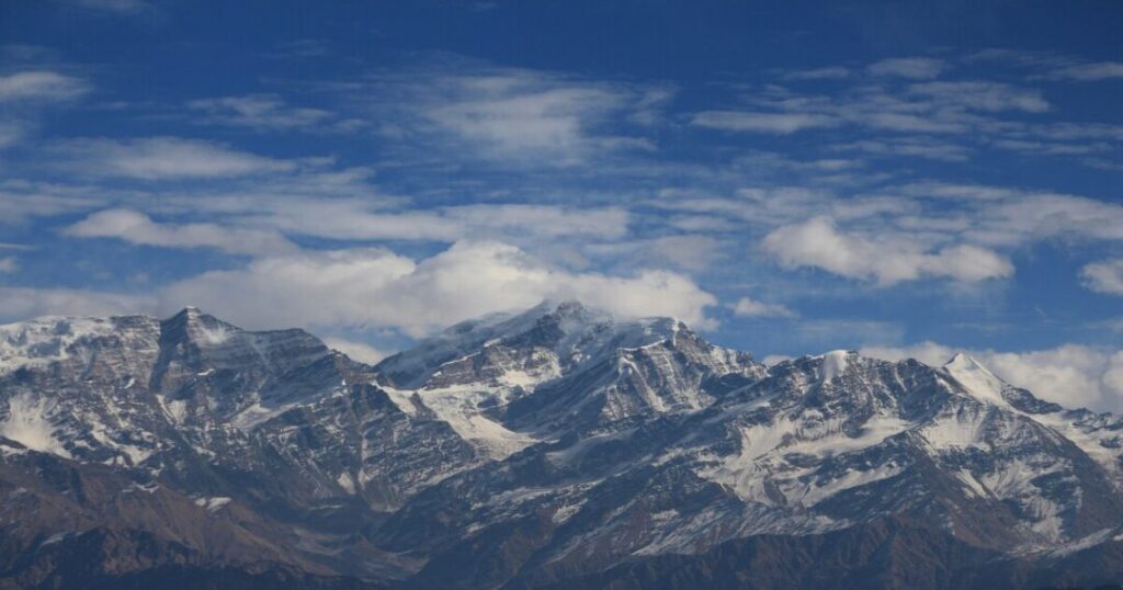
Standing atop Dayara Bugyal, you’re surrounded by some of the most beautiful Himalayan panoramas in Uttarakhand.
On clear days, trekkers can witness:
- Bandarpoonch Peak
- Black Peak (Kala Nag)
- Draupadi Ka Danda
- Srikanth Peak
- Gangotri Mountain Range
At sunrise, the peaks glow orange and gold, creating one of the most memorable sights in the Himalayas.
Also Read: Kedarkantha Trek: The Complete Guide to India’s Best Winter Snow Trek
Dayara Bugyal Weather Through The Seasons
One of the reasons Dayara remains popular year-round is its constantly changing character.
Spring (March-April)
Spring transforms the meadows into a colorful landscape filled with blooming flowers.
Temperature
- Day: 10°C to 18°C
- Night: 0°C to 5°C
Perfect for photography and nature lovers.
Summer (May-June)
The meadows are at their greenest during summer.
Temperature
- Day: 15°C to 20°C
- Night: 5°C to 10°C
Ideal for first-time trekkers.
Monsoon (July-August)
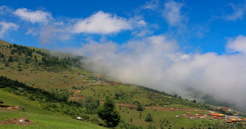
Clouds drift across the mountains while the meadows become intensely green.
Temperature
- Day: 10°C to 18°C
Though beautiful, trails can become slippery.
Autumn (September-November)
Many experienced trekkers consider autumn the best season.
Temperature
- Day: 8°C to 15°C
- Night: -2°C to 5°C
Expect crystal-clear mountain views and golden grasslands.
Winter (December-February)
Dayara transforms into a snow-covered paradise.
Temperature
- Day: -2°C to 8°C
- Night: -10°C to -2°C
Perfect for snow trekking and winter photography.
What is the Best time for the Dayara Bugyal Trek?
The best season depends entirely on what you want to experience.
Visit Between March and June For:
- Green meadows
- Pleasant weather
- Blooming flowers
Visit Between September and November For:
- Clear mountain views
- Crisp weather
- Stunning photography conditions
Visit Between December and February For:
- Snow-covered landscapes
- Winter trekking
- Frozen Himalayan beauty
Also Read: Devkund Waterfall Trek: The Complete Guide to Maharashtra’s Secret Waterfall
Dayara Bugyal vs Ali Bedni Bugyal Trek
Many trekkers eventually compare Dayara with the famous Ali Bedni Bugyal Trek.
While Dayara introduces you to the beauty of Himalayan meadows, the Ali Bedni Bugyal Trek takes the experience further with larger grasslands and a longer trekking route.
| Feature | Dayara Bugyal | Ali Bedni Bugyal Trek |
| Duration | 4-5 Days | 6-8 Days |
| Distance | 18-22 km | 30-35 km |
| Difficulty | Easy-Moderate | Moderate |
| Best For | Beginners | Experienced Trekkers |
| Meadow Size | Large | Massive |
If Dayara leaves you wanting more, Ali Bedni Bugyal and the Bedni Bugyal Trek naturally become the next adventures on your Himalayan bucket list.
Essential Trekking Tips
Train Before The Trek
Regular walking, jogging, or stair climbing helps build endurance.
Carry Layers
Mountain weather changes quickly.
Stay Hydrated
Drink water frequently, even during cold weather.
Invest In Good Shoes
Comfortable trekking shoes can make a huge difference.
Respect Nature
Leave the mountains cleaner than you found them.
Start Early
Morning hours usually offer the best weather and mountain views.
Seasonal Insights
Spring
Expect colorful wildflowers and fresh greenery.
Summer
The bugyal reaches peak beauty with lush grasslands.
Autumn
Offers the clearest Himalayan panoramas of the year.
Winter
Snow transforms Dayara into one of India’s best winter trekking destinations.
Why Dayara Bugyal Feels Different?
Some treks are remembered for their challenges. Others are remembered for their views.
The Dayara Bugyal Trek is remembered for how it makes you feel.
It’s the silence of the meadows. The sound of wind moving through the grass. The sight of distant peaks glowing at sunrise. The simplicity of walking through landscapes that seem untouched by time.
And perhaps that’s why so many trekkers return.
Because long after the trek ends, a part of you remains somewhere in those endless Himalayan meadows, waiting to walk those trails once again.
FAQs about Dayara Bugyal Trek
2. Is Dayara Bugyal Trek suitable for beginners?
Yes, it is one of India's best beginner-friendly Himalayan treks.
3. What is the best time for Dayara Bugyal Trek?
March-June for green meadows and December-February for snow trekking.
4. How high is Dayara Bugyal?
The highest point is approximately 12,000 feet (3,658 meters).
5. Is snow available on Dayara Bugyal?
Yes, snowfall typically occurs between December and February.
6. Which is better: Dayara Bugyal or Ali Bedni Bugyal Trek?
Dayara is easier and shorter, while the Ali Bedni Bugyal Trek offers larger meadows and a longer trekking experience.